

Geospatial Sciences & Data Analysis
Aspen harnesses Geospatial Technology for enhanced project data development, analysis, and visualization.
Project planning, environmental review, permitting, and compliance all benefit from the capabilities of Geospatial Sciences and the types of information it can generate. Geospatial Sciences utilize Geographic Information Systems (GIS), visual simulations and seen-area analysis, remote-sensed data analysis, and graphic design to:
Increase project understanding,
Speed up and streamline data collection and modeling,
Enable comparison and selection of alternatives, and
Improve presentation effectiveness.
Currently, the environmental planning and analysis industry is trending toward digital spatial knowledge. By identifying and mapping accurate project site and sensitive resource locations in the project analysis, Aspen’s Geospatial Sciences Group helps our project teams increase productivity, better respond to stakeholders’ inquiries, and utilize geographic data in support of regulatory requirements.
Aspen’s Geospatial capabilities are integrated into internal project teams to provide value-added capabilities to our clients. In addition, Geospatial services can be provided independently of project work, to include GIS system development, spatial data collection and management, and client training and consultation.
Services include:
Cartographic Maps and Displays
Web Mapping and Cloud-based Technology Support
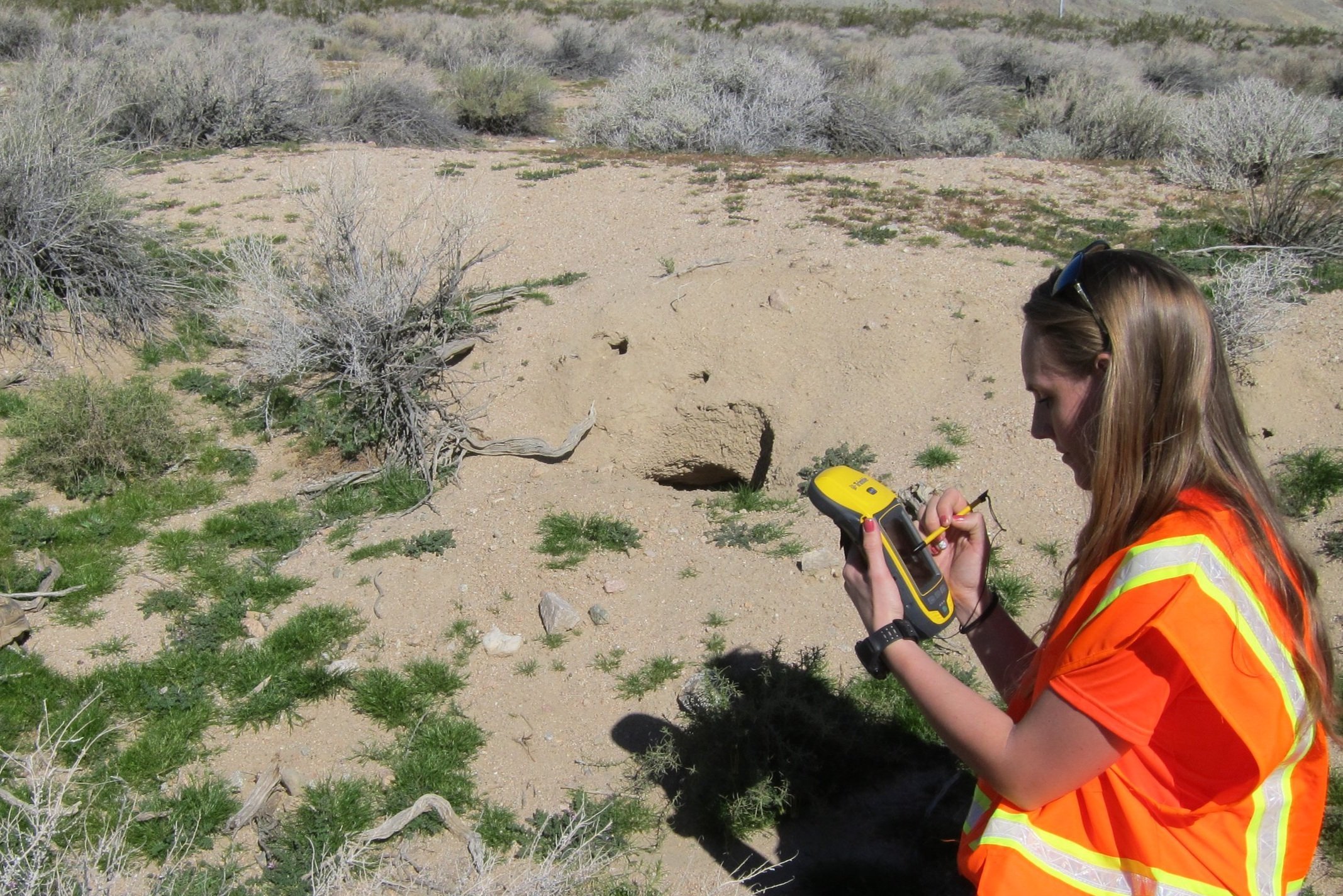
Field Data Collection with GNSS/GPS and UAVs
Spatial and Imagery Data Analysis
Cultural and Biological Sensitive Resources Predictability Modeling
Vegetation Mapping
Jurisdictional Delineation Mapping
Infrastructure Asset Management Systems
Visual Simulations and 3-D Rendering
LiDAR Acquisition and Analysis
Geospatial Database Management (RDBMS) Support
Solar Glint and Glare Modeling
Environmental Justice Demographic Data Screening
Geospatial Systems Client Consultation and Training
Products include:
Geospatial Models and Analytics
GIS Webpage Design and Interactive Map Displays
Web Dashboards and Story Maps
Geospatial Data Delivered in Various Formats
Digital and Hardcopy Maps
Displays, Wall-size Maps, Atlases
Digital and Bound Field Map Books for use by Field Crews
Technical Systems Documentation