
Wildfire Risk Reduction, Reliability, and Asset Protection Project (WRAP)
Project Specifications
Client: Trinity Public Utilities District
Location: Trinity County
Services: Environmental Review & Permitting, Biological Resources, Cultural Resources, Air Quality & Climate Services, Geospatial Sciences & Data Analysis
The Western Area Power Administration (WAPA) and the Trinity Public Utilities District (TPUD) are initiating a right-of-way (ROW) expansion and vegetation management Project to reduce fire risk to the surrounding communities and public lands, as well as to increase electrical reliability to maintain critical services in local communities. The areas surrounding TPUD and WAPA’s systems are particularly vulnerable to fire risk due to the dense vegetation and steep terrain. The project would effectively reduce fuel loads within the ROWs of these utility systems, create a potential firebreak, and minimize the risk of a wildfire caused by power lines. Recent wildfires have indicated that the current minimum buffer clearances are not sufficient to prevent destructive wildfires. Therefore, WAPA and TPUD are proposing the following approach to reduce the risk of wildfire by integrated vegetation management.
Expansion of the WAPA Trinity-Weaverville 60kV transmission line ROW from the current 80 feet to 130 feet.
Expansion of the WAPA Lewiston 60kV ROW from the current 80 feet to up to 130 feet.
Access road improvements on the WAPA Trinity-Weaverville 60kV by re-aligning roads through gentler terrain and reducing the number of tight switchbacks.
Expansion of TPUD’s distribution line ROWs from the current 20 feet to up to 130 feet.
Access road maintenance for the TPUD transmission and distribution system.
Formalize a comprehensive operation and maintenance program for TPUD and WAPA.
Expanding the WAPA and TPUD transmission and distribution system will significantly reduce wildfire risk, increase the reliability of delivery power under WAPA’s contract, protect the system’s infrastructure, improve transmission access roads, and reduce safety and health risks from wildfire for the surrounding community.
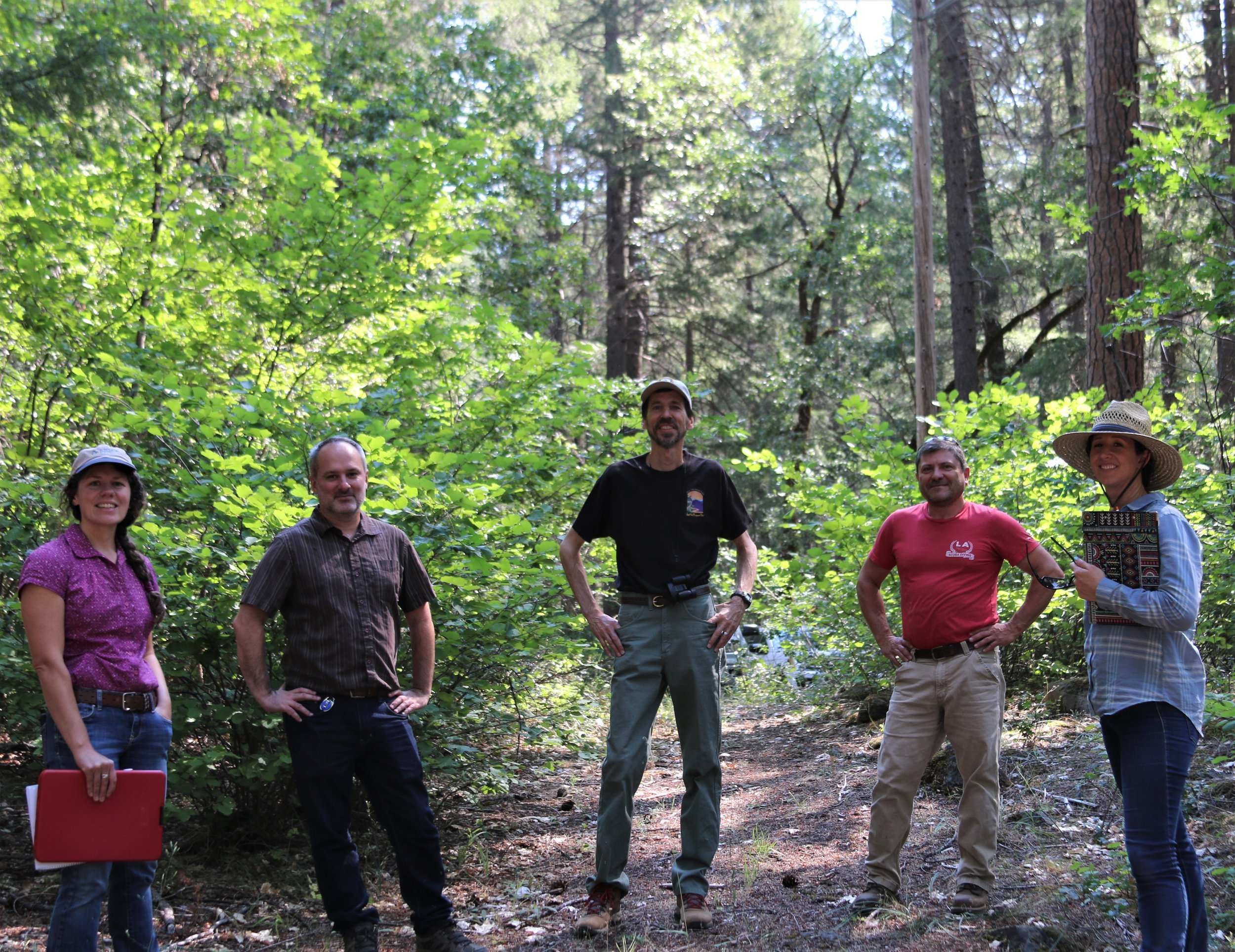
On behalf of the project, and in compliance with NEPA and CEQA requirements pertinent to cultural resources, Aspen has teamed with PAR Environmental Services to conduct a Class I cultural resources inventory, and is currently conducting a Class III pedestrian archaeological and built-environment survey of the 375-mile long project corridor.
As part of this project, Aspen’s GIS team has been managing field mapped vegetation, waters, special-status species, and cultural resource data observed along the right-of-way corridor. They also set up mobile mapping applications for field crews to efficiently collect data and sync in real-time.
Upon completion of the survey, Aspen will prepare final Class-III reports for submittal to WAPA, TPUD, the Bureau of Land Management, the US Forest Service, the Bureau of Reclamation, and the Northwest and Northeast information centers of the California Historical Resources Information System.