
Unmanned Aerial Vehicles (UAV) in the Environmental Industry
This second decade of the 21st century has seen an increasingly growing industry in remotely operated vehicles, including ones that are airborne. Commonly known as “drones”, Unmanned Aerial Vehicles (UAV) have not only become a commercial industry tool used for various tasks but now are available to the private consumer as a recreational item. Very recent Federal Aviation Administration (FAA) rulings have eased concerns in the UAV industry about who can operate a vehicle and where.
UAVs come in various forms and sizes. Military ones like the Predator are large, fixed-wing, and comparable in size to manned airplanes. They can carry very heavy payloads and fly for very extended periods of time. Commercial and recreational UAVs are smaller in size and are called small UAVs (sUAV). These can be fixed-wing or rotary-blade, carry very light payloads or none at all, and travel short distances with limited but rechargeable battery power. Many of these can be operated from a desktop/laptop or a tablet/smartphone in real-time or a preprogrammed flight path.
With increased use of remote-sensed data like aerial imagery, LiDAR, and radar for decision-making by various industries, an sUAV becomes cost-competitive when compared to a manned aerial vehicle to collect the same type of remote-sensed data. Unlike traditional aerial imagery data capture, sUAVs allow for the deployment of the equipment without a runway or airport infrastructure. And the equipment mobilization costs are a fraction of the traditional airplane/helicopter deployment.
Various light-weight sensors can be attached to the sUAV including high-resolution cameras, lasers, and Global Navigation Satellite Systems (GNSS and GPS). Some can even attach inexpensive smartphones and video cameras like a GoPro. Data captured is either stored on the sensor’s device memory card or can be downloaded almost in real-time to a server from the sUAV while the vehicle is in flight. New capabilities allow for real-time viewing of data captured including video not only by the operator of the sUAV but also by project managers and decision makers as the data is streamed live through cloud-based technology. This breakthrough in real-time/almost real-time remote-sensed data capture will allow agencies and various industries to report back findings to the appropriate personnel more efficiently, at a reduced cost, and show greater transparency in the business and workflow of the organization.
sUAV technology can support various industries, including environmental resource collection and monitoring, engineering data collection like LiDAR, operation and maintenance activities, infrastructure inspections, project planning, public awareness and communication, and many others.
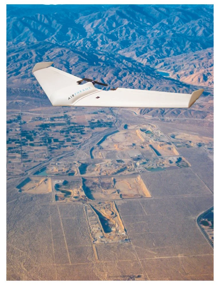
Aspen has been one of the early users of this technology and has been researching ways to use it to increase the efficiency and accuracy of our field efforts. We utilized sUAV technology most recently on the Littlerock Reservoir Sediment Removal Project for Palmdale Water District. Contracting with Airphrame, Inc., high-resolution aerial imagery data was collected over a period of several days with specific overlap. A digital terrain model (DTM) was created from the overlapping images creating a 3D point-cloud spatial dataset, much like a LiDAR dataset. One-foot contours were created from the DTM and the resulting elevations of the sedimentation build up were modeled and compared to a 1995 contour model of the reservoir. Aspen then modeled how much sediment needed removal from the reservoir. The cost of the data capture using a sUAV was a fraction of the cost to the District compared to traditional methods of remote-sensed data capture techniques.
Aspen has the expertise and know-how to use and implement UAV technology in support of its clients’ projects. Together with a team of seasoned and expert subcontractors, Aspen can advise on how to save considerable cost to clients for spatial data capture, and imagery/video data processing, analysis, and reporting.
For more information about remote-sensed data capture with Unmanned Aerial Vehicles or how to efficiently implement a UAV for your project, please contact Aspen’s Geospatial Sciences Group at (818) 338-6627.